First time using LiDAR data for a 3D map
I had heard about LiDAR data in GIS projects - it’s a remote-sensing technique that uses laser light to densely sample the surface of the earth to produce 3D measurements (x,y,z). Pretty cool.
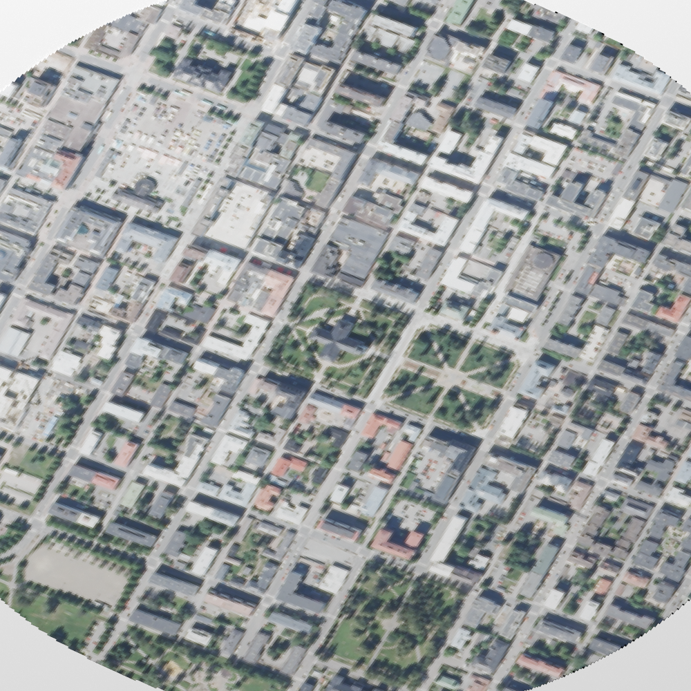
I came across this tutorial which uses LiDAR raster data from the Netherlands to make a 3D city map on R. I’ve copied the code and adjusted it slightly to make an image of the town I grew up in; Kuopio, Finland. The National Land Survey of Finland provides various raster and vector data for free (shout out to Maanmittauslaitos!). See my code in my repo.
The code uses the terra package to overlay 3D measurement data onto an aerial image (orthophoto) and then renders it on rayshader. Now, this might still be a work in progress as I’m not sure why my map came out so smudgy and unclear. I increased the lightsize option, which helped with the grayness, but I didn’t have my own HDR file to use under environment_light. It was my first time using rayshader and to be honest, I am not so clear on all the options as I don’t have a GIS (never mind STEM) background!
Anyway, I really enjoyed making this - thank you Milos for the excellent tutorial and inspiration!